BOOKZONE
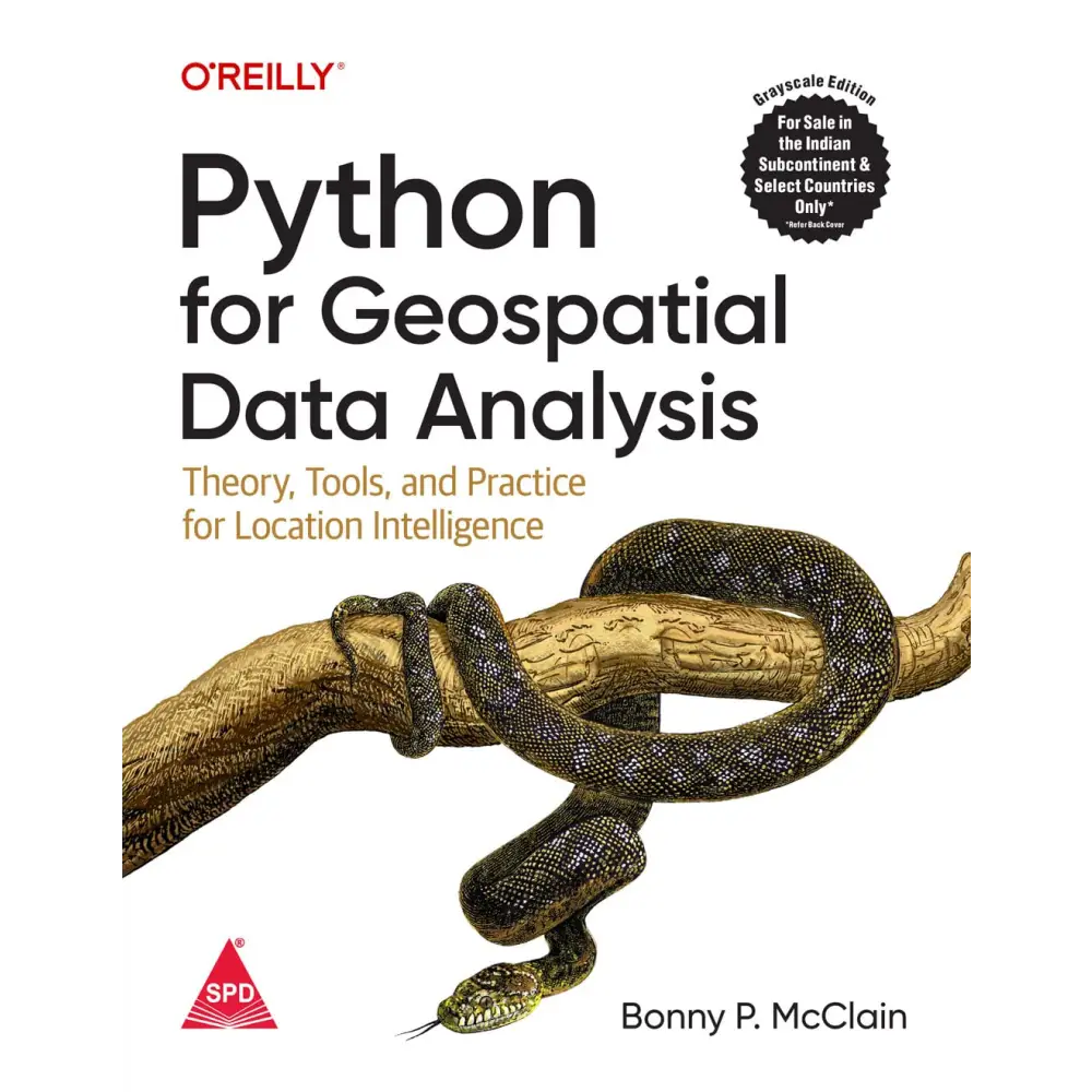
Python for Geospatial Data Analysis
Paperback
by Bonny P. Mcclain
SKU:9789355422255
Bulk Discount Get Exta 5% upto 10%
Share

All Indian Reprints of O'Reilly are Printed in Grayscale.
In spatial data science, things in closer proximity to one another likely have more in common than things that are farther apart. With this practical book, geospatial professionals, data scientists, business analysts, geographers, geologists, and others familiar with data analysis and visualization will learn the fundamentals of spatial data analysis to gain a deeper understanding of their data questions.
Author Bonny P. McClain demonstrates why detecting and quantifying patterns in geospatial data is vital. Both proprietary and open source platforms allow you to process and visualize spatial information. This book is for people familiar with data analysis or visualization who are eager to explore geospatial integration with Python.
This book helps you:
- Understand the importance of applying spatial relationships in data science
- Select and apply data layering of both raster and vector graphics
- Apply location data to leverage spatial analytics
- Design informative and accurate maps
- Automate geographic data with Python scripts
- Explore Python packages for additional functionality
- Work with atypical data types such as polygons, shape files, and projections
- Understand the graphical syntax of spatial data science to stimulate curiosity
About the Author
Dr. Bonny P McClain is a member of the National Press Club, 500 Women Scientists, and Investigational Reporters and Editors allowing access to a wide variety of health policy and health economic discussions.
Bonny applies advanced data analytics including data engineering and geoenrichment to discussions of poverty, race, and gender. Her research targets judgementsabout social determinants, racial equity, and elements of intersectionality to illuminate the confluence of metrics contributing to poverty. Moving beyond zipcodes to explore apportioned socioeconomic data based on underlying population data leads to discovering novel variables based on location to build more context to complex data questions.


